Seagrass habitats in northern Australia are under pressure from climate change, floods, cyclones, land activities, and fishing. These threats endanger species such as dugongs and green turtles that rely on healthy seagrass meadows.
Mapping and monitoring seagrass are now key goals in Sea Country management and significant progress has been made. However, monitoring outside Queensland’s east coast and the Torres Strait remains limited.
Indigenous Ranger groups are increasingly taking the lead in monitoring seagrass health. Equipped with small boats, underwater cameras, drones, and trained staff, these groups are well-placed to conduct coastal monitoring. For these programs to have the greatest conservation impact, a consistent approach across the whole of northern Australia is essential. This means using appropriate indicators and methods and access to high-quality training material to build capacity.
By working with Indigenous rangers, researchers and filmmakers, this project will develop engaging training materials and a monitoring framework tailored to diverse Sea Country environments and circumstances. This robust and consistent decision-making framework for seagrass monitoring across northern Australia will ensure reliable data is gathered to guide conservation and management. This initiative supports national priorities, enhances Indigenous-led conservation, and improves data for managing species such as dugongs and green turtles.
Approach
This project will:
- Partner with Torres Strait Regional Authority Land and Sea Management Unit, Karajarri Traditional Lands Association, Namultja Aboriginal Corporation and Girringun Aboriginal Corporation to create high-quality training materials on the importance of seagrass and effective monitoring methods, including publicly accessible short films.
- Strengthen capacity within Indigenous ranger groups to monitor seagrass confidently and support Indigenous-led conservation initiatives.
- Create a decision-making framework for consistent monitoring of the diverse seagrass habitats of northern Australia.
- Enhance expertise to monitor seagrass health and support the restoration and conservation of these habitats.
Expected outcomes
- Improve decision-making and better conservation and management of seagrass habitats with a consistent and robust framework for ranger-led seagrass monitoring across northern Australia.
- Increase support for the conservation of listed threatened species and biologically important areas (BIAs) while raising public awareness about seagrass ecosystems.
- Establish a foundation for integrating seagrass habitats into environmental market schemes through effective monitoring.
- Strengthen partnerships between researchers, Indigenous rangers, and other stakeholders.
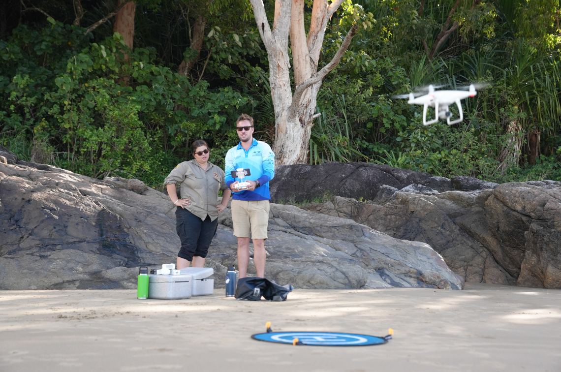 Girringun Rangers and TropWATER using drones to map intertidal seagrass. Image: Styledia and Girringun Aboriginal Corporation.
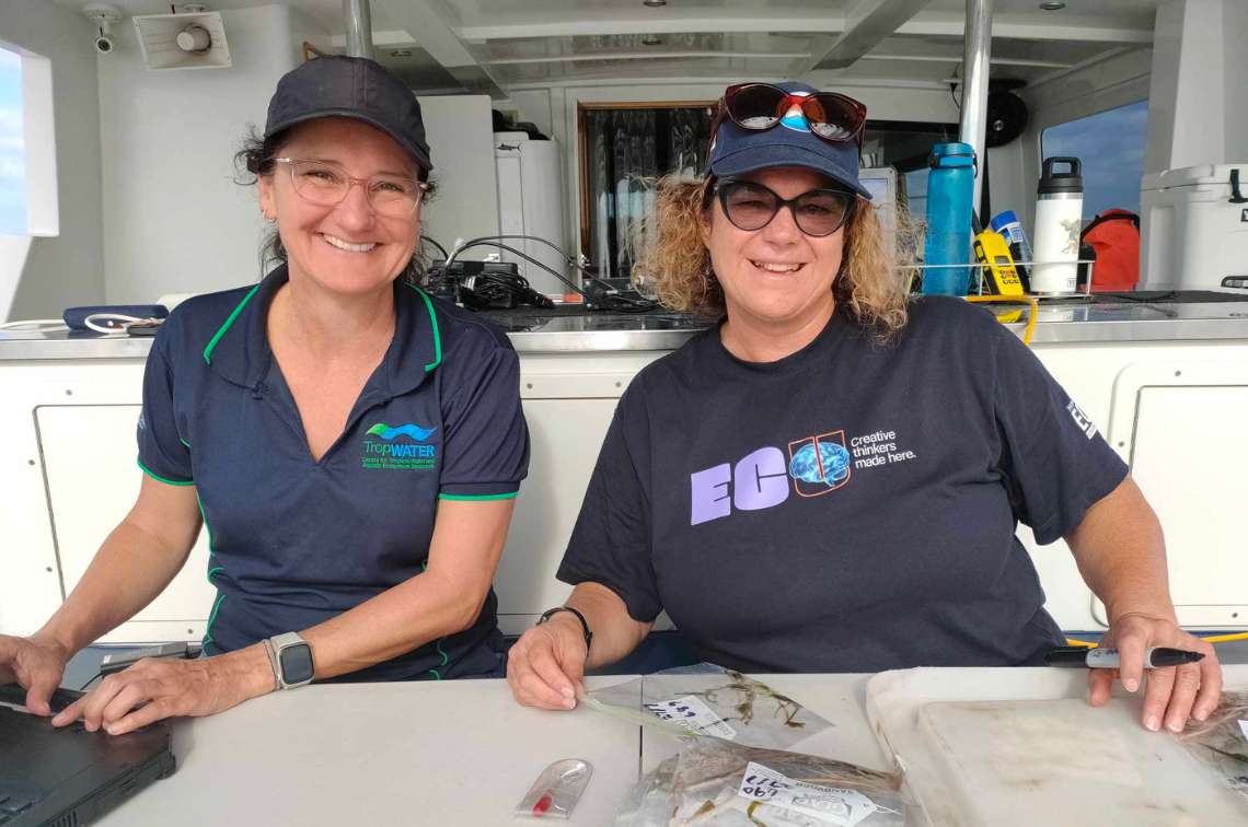 Catherine Collier (left) and Kathryn McMahon (right).
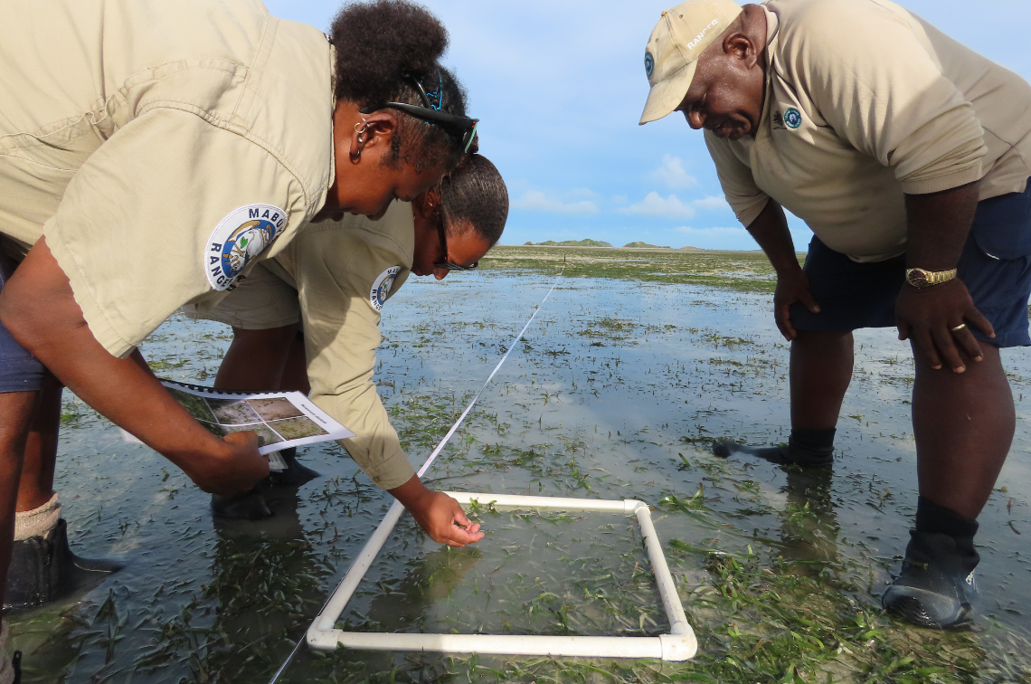 Torres Strait Regional Authority Land and Sea Rangers conduct intertidal seagrass monitoring at Mabuyag Island. Image: Madeina David.
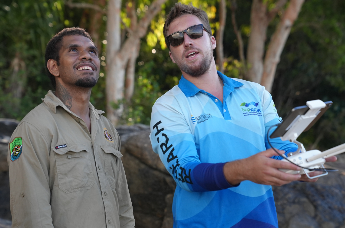 Girringun Rangers and TropWATER using drones to map intertidal seagrass. Image: Styledia and Girringun Aboriginal Corporation.
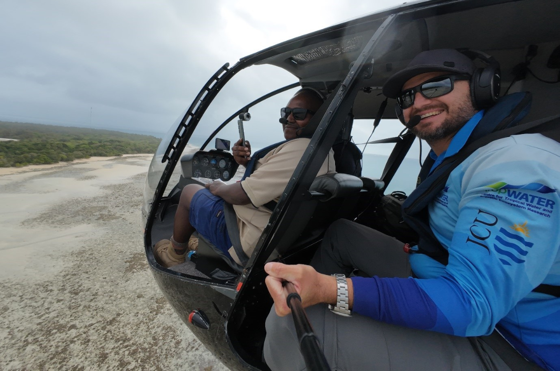 Torres Strait helicopter aerial survey.
Project location
Project leaders
Research partners
James Cook University
Charles Darwin University
Edith Cowan University
Collaborators
Great Barrier Reef Foundation
Karajarri Traditional Lands Association
Torres Strait Regional Authority Land and Sea Management Unit
Girringun Aboriginal Corporation
Namultja Aboriginal Corporation
Northern Territory Government
Research users
Torres Strait Regional Authority
Land and sea rangers
Traditional Owners
Northern Territory Government
Local Aboriginal Land Councils
Great Barrier Reef Foundation
Department of Climate Change, Energy, the Environment and Water
Fact sheet – Project 5.2
Girringun TUMRA Seagrass Update 2025
Carter A, Bulmer D, Congoo S, Pryor J, Langlois L, Settli E, and Groom R (2026). Girringun TUMRA Seagrass Update 2025. Fact sheet. James Cook University TropWATER, Townsville, Queensland.
Fact sheet – Project 5.2
Seagrass monitoring in the Girringun TUMRA
Carter A, Bulmer D, Congoo S, Pryor J, Langlois L, Settli E, and Groom R (2026). Seagrass monitoring in the Girringun TUMRA. Fact sheet. James Cook University TropWATER, Townsville, Queensland.
Fact sheet – Project 5.2
Marra Sea Country Seagrass Update 2025
Carter A, Forsman S, Barrett D, Barrett E, Kerr R, Wilkins S, Tracey D, Collier C, and Groom R (2026). Marra Sea Country Seagrass Update 2025. Fact sheet. James Cook University TropWATER, Townsville, Queensland.
Fact sheet – Project 5.2
Habitat Monitoring in Marra Sea Country
Carter A, Forsman S, Barrett D, Barrett E, Kerr R, Wilkins S, Tracey D, Collier C, and Groom R (2026). Habitat Monitoring in Marra Sea Country. Fact sheet. James Cook University TropWATER, Townsville, Queensland.
Other – Project 5.1 – Project 5.2 – Project 5.4 – Project 5.5 – Project 5.6 – Project 5.7 – Project 5.9 – Project 5.10
Marine and Coastal Hub Research Showcase 2025 presentations
Marine and Coastal Hub Research Showcase 2025 presentations. National Environmental Science Program.
Fact sheet – Project 5.2
Project 5.2 Information sheet
NESP Marine and Coastal Hub (2025). A toolkit for ranger-led seagrass monitoring in northern Australia Sea Country. Project 5.2 Information sheet. Reef and Rainforest Research Centre, Cairns, Queensland.