
Australia is fortunate to have world-class marine research data, supported by long-term investment in marine observing systems, open data access and environmental research. However, a key challenge identified by the 2020 Independent Review of the EPBC Act (the Samuel Review) was that environmental decision-makers do not always have access to data in forms that are readily usable for environmental assessments, reporting and planning.
This project addressed this gap by making priority marine environmental datasets more assessment-ready. Working with government agencies, marine researchers and data infrastructure providers, the project developed a framework to transform priority marine datasets into standardised, cloud-optimised products that can be routinely updated and delivered through national infrastructure.
These products are designed to support State of the Environment reporting, Environmental Economic Accounts, environmental approvals, marine park management, threatened and migratory species assessments, and Australia’s national environmental data supply chain.
Approach and findings
The project began with a national prioritisation workshop involving more than 40 participants from 16 organisations, including representatives from government agencies, research institutions and marine management organisations. Together, they identified six high-priority datasets spanning habitats, species and human pressures.
The selected datasets included a national seagrass aggregation, seabird observations, kelp surveys, reef benthic surveys, dugong aerial surveys and vessel tracking data. These datasets provide important information on the condition of Australia’s marine environment and the pressures acting upon it.
For each dataset, the project developed automated workflows to extract, transform and load information into consistent, assessment-ready products. Data from multiple sources were harmonised, quality-checked and converted into cloud-optimised formats that support efficient analysis and reporting
The products were enriched with standard spatial, regional and taxonomic information. This included H3 spatial indices for multi-resolution mapping and analysis, Australian Marine Region tags for national reporting, and recognised taxonomic identifiers such as WoRMS and CAAB. These features make it easier for users to filter, aggregate and compare information across regions and time periods.
The project also developed training materials, including videos and code repositories in Python and R, to help government, research and consultancy users work with the new data products.
Importantly, the workflows and products were integrated into the Integrated Marine Observing System (IMOS) and Australian Ocean Data Network (AODN) infrastructure. This allows products to be automatically updated as new data becomes available, ensuring their long-term value.
Outcomes
The project delivered a suite of assessment-ready marine environmental data products that support environmental reporting, assessment and management across Australia. By providing consistent, well-documented information on marine habitats, species and human pressures, these products improve access to the evidence needed for environmental decision-making.
A key achievement was demonstrating a practical and scalable approach for transforming research data into assessment-ready information within existing national infrastructure. By embedding workflows within IMOS and AODN and providing supporting training resources, the project has established a sustainable pathway for maintaining and expanding assessment-ready marine data products.
The framework developed through this project can be applied to additional marine datasets in the future, helping ensure that environmental assessments, planning and policy decisions are informed by the best available marine science.
The datasets on AODN can be found here.
To start working with the datasets, see the NESP 5.9 Analysis Notebooks on GitHub and explanatory videos on the IMOS YouTube channel.
IMOS is enabled by the National Collaborative Research Infrastructure Strategy (NCRIS).
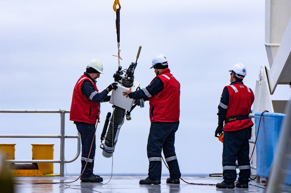 Biogeochemical Argo. Image: Jakob Weis, UTAS
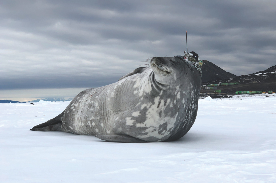 Animal tagging. Image: Rob Harcourt, Macquarie University
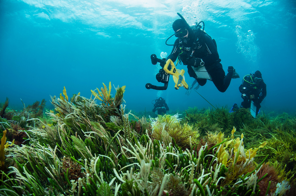 National Reef Monitoring Network. Image: Antonia Cooper, UTAS
Project location
Project leader
Research partners
Integrated Marine Observing System
Research users
Land and sea rangers
Department of Climate Change, Energy, the Environment and Water
Marine research community
Technical report – Project 5.9
Making marine environmental data more assessment-ready
Klein-Salas E, Stepin B, Galindo T, Khana K, Atkins N (2026). Making marine environmental data more assessment-ready: NESP MaC Hub Project 5.9 Final Report. University of Tasmania/IMOS Integrated Marine Observing System, Hobart.
Other – Project 5.1 – Project 5.2 – Project 5.4 – Project 5.5 – Project 5.6 – Project 5.7 – Project 5.9 – Project 5.10
Marine and Coastal Hub Research Showcase 2025 presentations
Marine and Coastal Hub Research Showcase 2025 presentations. National Environmental Science Program.
Fact sheet – Project 5.9
Project 5.9 Information sheet
NESP Marine and Coastal Hub (2025). Making marine environmental data more assessment-ready Information sheet. Project 5.9 Information sheet. Reef and Rainforest Research Centre, Cairns, Queensland.