Article
10 June 2025
Drone trials are helping scientists find better ways to map and monitor coastal seagrass meadows. The project is part of national efforts to protect seagrass habitats critical to turtles, dugongs, and coastal communities.
In April 2025, researchers from James Cook University’s TropWATER tested drone surveys over a large seagrass meadow on Thursday Island. The selected site offered an excellent opportunity to capture high-resolution images of coastal seagrass from above.
Flights were timed to coincide with low tides on April 4–5, when the seagrass beds were exposed. Drones were flown at different heights to create detailed seagrass maps, helping researchers compare the best methods for future surveys.
Thursday Island’s seagrass meadows are an ideal trial site because of their diversity. They feature a wide range of tropical seagrass species and thick, healthy growth, creating an excellent testing ground for drone-based surveys.
Mapping and monitoring seagrass is vital. These plants stabilise coastlines, support rich marine life, and feed species such as dugongs and green turtles. Healthy seagrass meadows are also central to the wellbeing of many Traditional Owner communities.
“Understanding how seagrass is changing over time helps managers and local communities make better decisions about protecting it,” said Dr Alex Carter, a leading researcher on the project. “We are excited by the potential for drones to make regular seagrass monitoring more accessible and affordable.”
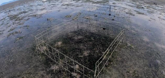
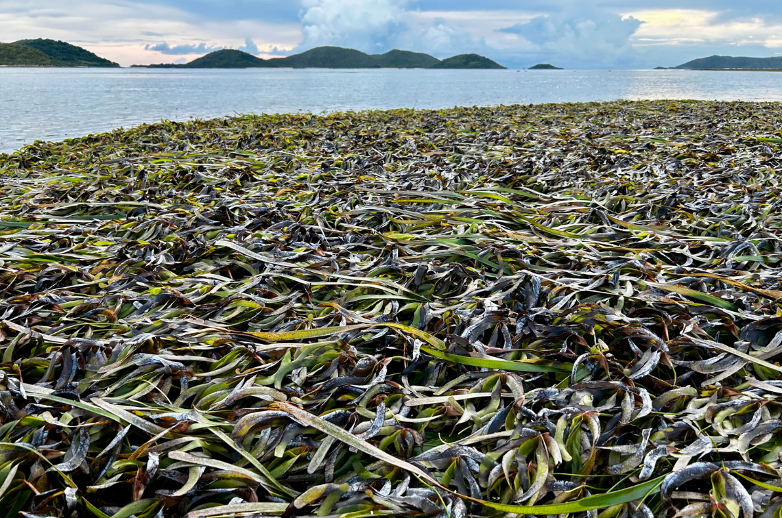 Seagrass around Thursday Island. Image: Alexandra Carter.
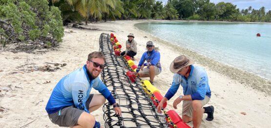
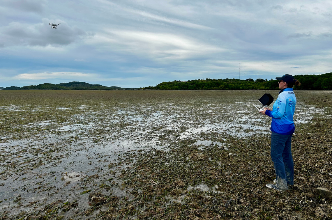 Researcher deploying a drone to monitor seagrass. Image: Alexandra Carter.
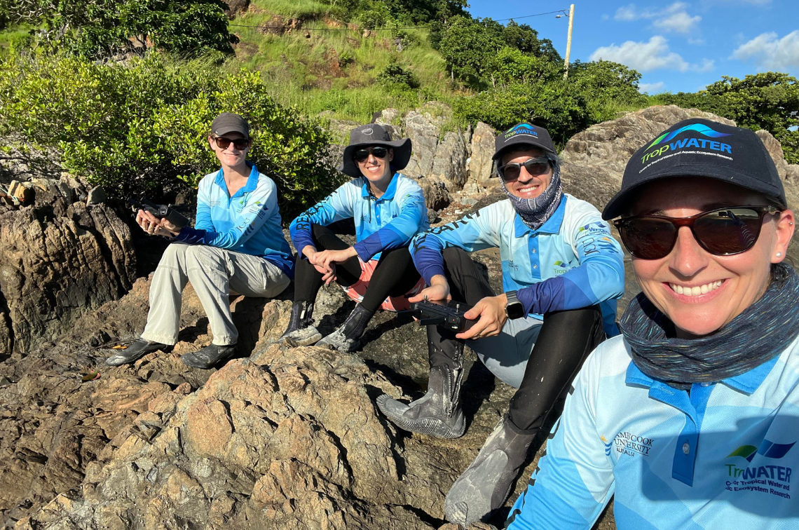
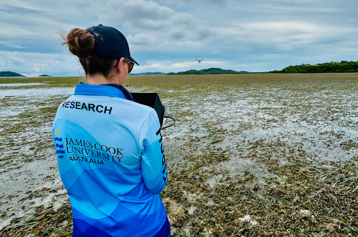 Researcher deploying a drone to monitor seagrass. Image: Alexandra Carter.
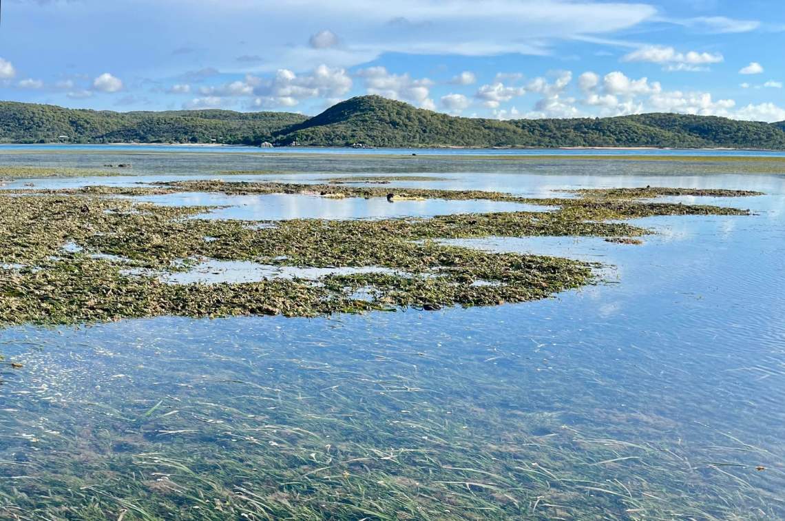 Seagrass around Thursday Island. Image: Alexandra Carter.
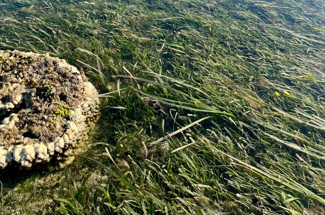 Seagrass around Thursday Island. Image: Alexandra Carter.
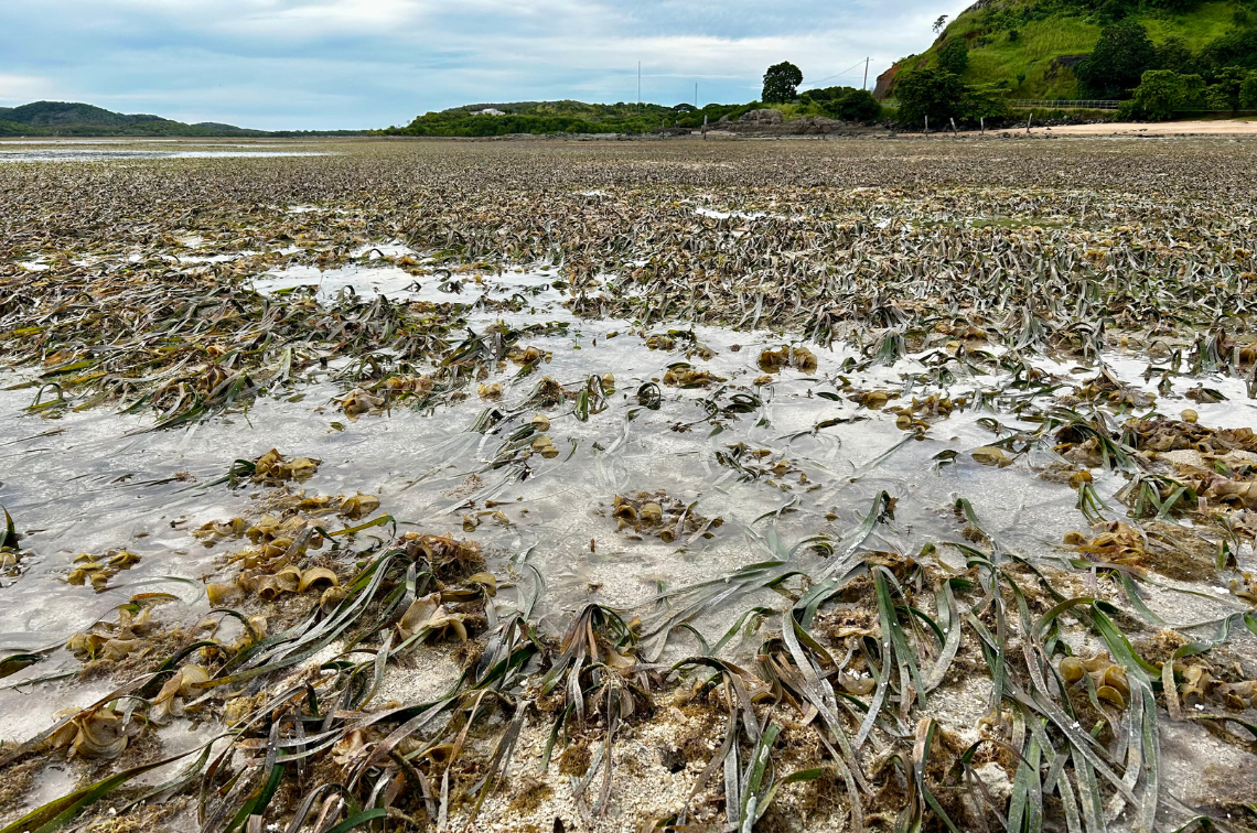 Seagrass around Thursday Island. Image: Alexandra Carter.
Community involvement and sharing research findings is a key part of the project. Data, images and maps created during the trials will be shared with the Kaurareg Native Title Aboriginal Corporation and the Kaurareg Rangers, supporting local management efforts.
“The sea is part of our story,” Enid Tom, Coordinator of the Kaiwalagal Junior Ranger Program, said. “The flora and fauna of the sea is our story. The seagrass is significant to us – it provides food for turtles, dugongs and fish which are totemic, as well as our livelihood. It provides shelter to the little crabs and shells. It plays an important role in the sea. It’s this connection that identifies who we are as Kaurareg and what is important to us. Kaurareg are ensuring the future generation and public are educated, passing on knowledge of why it’s important to look after the sea and its occupants.”
This Marine and Coastal Hub project is helping to develop best practices for drone use in seagrass monitoring, aiming to provide low-cost, accessible methods for communities and environmental managers across Australia.
Drone surveys are increasingly being recognised as powerful tools for environmental monitoring. They are quick to deploy, less expensive than traditional methods, and can cover large areas with minimal disturbance to fragile ecosystems.
By testing and refining drone methods on Thursday Island, the project is contributing to national efforts to better protect Australia's vulnerable coastal habitats.