Impact summary
8 June 2022
Torres Strait and the Gulf of Carpentaria host globally significant seagrass meadows that provide food and habitat for threatened dugong and turtle, and commercially important fish and prawns.
These areas are of profound importance to Traditional Owners. Understanding and monitoring the distribution and composition of seagrass habitat is essential to support the sustainable management of Sea Country. Little is known about how critical seagrass communities are distributed in northern Australia, however, or how they are changing. Seagrasses have not been mapped across the Gulf of Carpentaria, and the mapping for Torres Strait is out of date. Three Marine and Coastal Hub projects are expanding the knowledge base available to Traditional Owners engaged in managing seagrass habitat on Sea Country.
Mapping critical seagrass habitat in Yanyuwa Sea Country
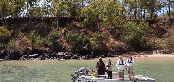
The Yanyuwa and Marra people in the Gulf of Carpentaria care for some of the most significant seagrass habitat in the Northern Territory. Marra and li-Anthawirriyarra rangers seek to map the intertidal habitats of the Yanyuwa Indigenous Protected Area and connected coastal areas. Hub researchers provided seagrass maps critical to Sea Country planning and management. Helicopter surveys of West, South-West and Centre islands recorded vast seagrass meadows in Yanyuwa Sea Country. Preliminary surveys in adjacent Marra Sea Country identified seagrass patches in depths of 10–15 metres.
Role of dugong and turtle grazing in seagrass declines
Widespread seagrass declines in western Torres Strait are of concern to the Torres Strait Regional Authority, rangers and Traditional Owners. Seagrass meadow condition around Mabuyag Island, Orman Reefs and the Dugong Sanctuary in particular is very poor. Hub researchers set a pathway to achieving a shared understanding of the contributing role played by large grazing animals such as dugong and turtle. They established a large herbivore-exclusion cage experiment on Orman Reefs and around Mabuyag Island to monitor grazing impacts, and met with community members to discuss the research.
Synthesising three decades of seagrass spatial data from Torres Strait and Gulf of Carpentaria
Reliable data on seagrass distribution, composition and change is key to understanding, monitoring and managing seagrass in remote regions of northern Australia. While seagrass data have been collected since the 1980s, the datasets are disparate and largely inaccessible. Hub researchers have identified and accessed relevant datasets and are transforming these into a consistent format so that a composite map of seagrass habitat can be prepared. The map will help the Torres Strait Regional Authority and Traditional Owners manage critical seagrass habitats and culturally important dugong and turtle populations.
Discussion with Kimberley Indigenous Saltwater Advisory Group about co-research to support Dugong and Turtle Action Plan
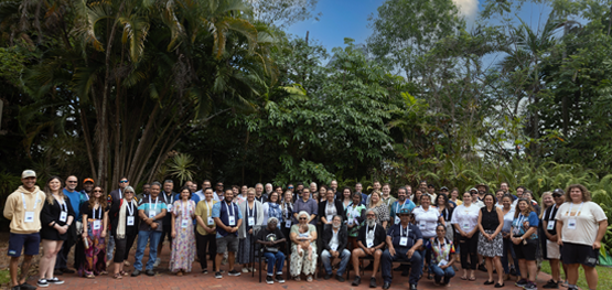
The Indigenous Saltwater Advisory Group (ISWAG) is an Indigenous-led forum for the Kimberley region of Western Australia. A dugong and turtle action plan has been developed under the group’s Kimberley Indigenous Turtle and Dugong initiative. The Hub connected with ISWAG to explore the potential co-design and co-delivery of research to support the plan’s implementation. Hub northern node leader, Professor Damien Burrows, attended the December 2021 ISWAG conference and gave presentations about the hub and its approach to Indigenous engagement. This sparked discussions about potential future collaboration.


