
Article
3 September 2026
When wind passes through offshore wind farms the turbines harvest a share for electricity, reducing the amount of energy entering the ocean.
Oceanographers are modelling how this wind loss may affect nutrient cycling in Bass Strait under a scenario of wind farm development off Gippsland, Victoria.
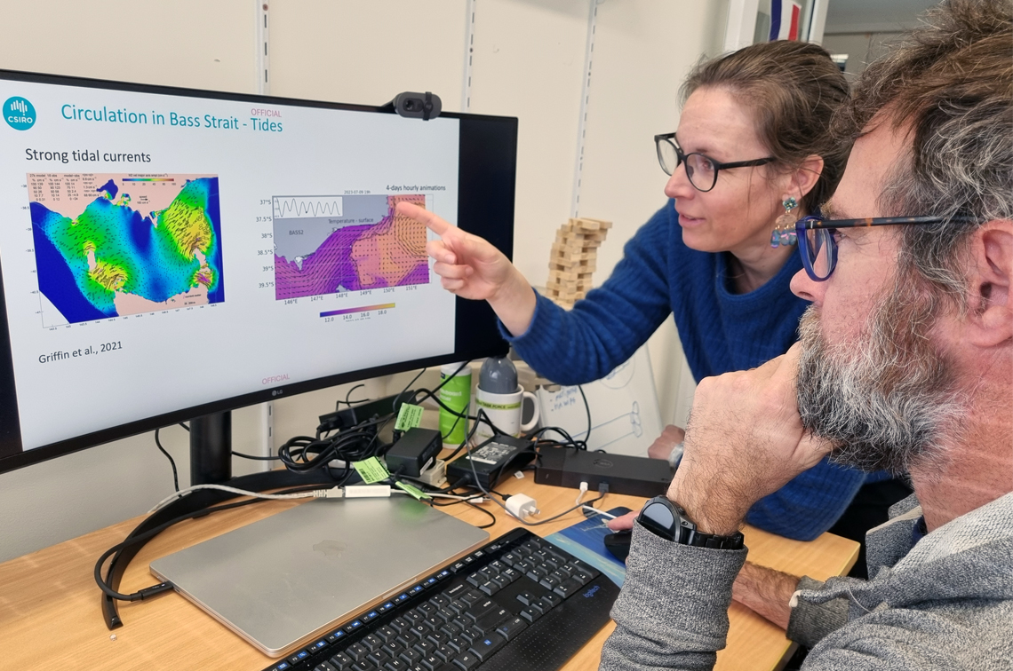
Dr Clothilde Langlais and Dr Mathieu Mongin of CSIRO, Australia’s national science agency, developed the three-dimensional hydrodynamic, biogeochemical and sediment model Bass2 (Bass Strait regional model).
The Bass2 model encompasses the Gippsland declared offshore wind area which covers about 15,000 square kilometres of north-eastern Bass Strait and is the most advanced of Australia’s six declared offshore wind areas.
“The dynamical deep ocean provides nutrients for a lot of things that humans care about whether its water quality, fishing, biosecurity, or aquaculture,” Dr Langlais says.
“We’re looking at how nutrient delivery from the deep ocean occurs naturally in this region and how offshore wind farming would change this natural cycle. Would it enhance or suppress the nutrient supply?”
Bass2 was developed as part of a Marine and Coastal Hub project that is developing models to assess the direct and indirect effects of new (offshore wind) and existing (shipping and commercial fishing) activities off Gippsland, against the backdrop of the region’s changing climate.
This involves whole-of-ecosystem modelling, population-level modelling for priority species, and underwater sound propagation modelling. These models build on foundational ‘ocean state’ conditions generated by Bass2.
A model within models
The Bass2 model sits within two broader-scale models that specify the winds, tides and currents, and the ocean content and nutrient supply from the surrounding ocean.
Ocean conditions at its side boundaries come from the Bluelink ocean Reanalysis global model (BRAN). Meteorological conditions at the ocean surface come from the Bureau of Meteorology Atmospheric high-resolution Regional Reanalysis for Australia model (BARRA-C2).
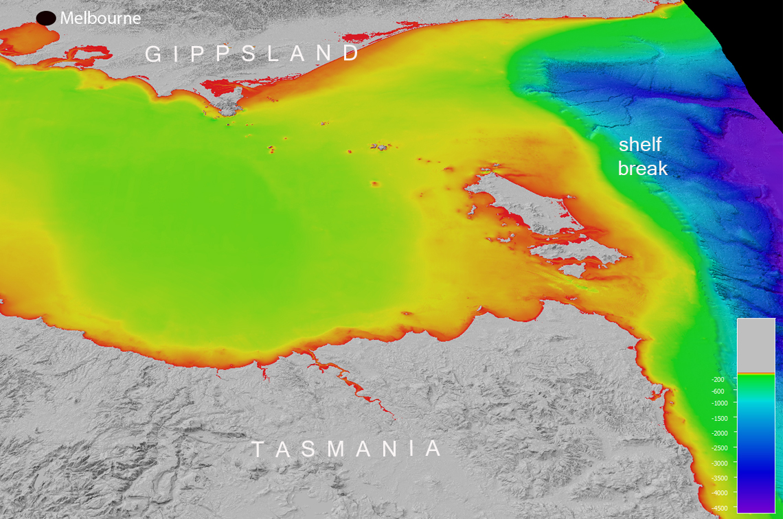
“Bass2 runs at a much finer resolution than the BRAN and BARRA-C2 models in order to represent the bathymetry and processes that govern nutrient supply at the scale of the continental shelf and shelf break (the edge of the shelf),” Dr Mongin says.
“We need to simulate the resuspension of sediments from the seafloor to the water column and the development of the plankton community, and how these processes respond to changes in ocean circulation.”
Dr Mathieu Mongin, CSIRO
“To do this we use equations based on the laws of physics that mimic well-known dynamics of the natural environment. These equations are solved within the boxes of a three-dimensional grid (2 km x 2 km x 60 m depth).
“For example, we track temperature, salinity and oxygen, carbon and nitrogen concentrations as they move from one grid box to another. We use 200 equations to track the behaviour of phytoplankton!
“At each time step, the equations provide an estimate of the ‘time tendency’ or ‘time evolution’ of ocean characteristics … ‘I know the concentration of this tracer in this box now, but how will that change at the next time-step?’
“It takes a day of computing time for CSIRO’s high-performance computer system in Canberra to solve 100 days of such equations.”
Winds, currents and upwelling
The effect of wind farms in a particular region depends on which processes have the strongest influence on the ocean system in that location.
Modelling for the North Sea offshore wind farm region found primary productivity changes of up to 10% (higher or lower depending on the location) in response to a 4% reduction of wind speed 10 metres above sea level.
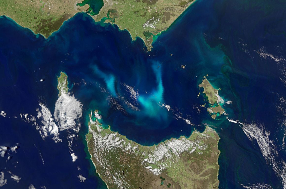
In contrast, Bass Strait has more dominant west to east wind and storms and tidal-driven circulation. The Tasman Sea, the East Australian Current and the shelf break have a strong influence on upwelling (the rise of deep water to replace surface water pushed away by winds or currents).
The East Australian Current creates upwelling at the shelf break near the Gippsland coast. As the current and its eddies push south onto the narrow continental slope, cold, nutrient-rich water from the Tasman sea wells up onto the shelf break.
“This area is critical because it links the deep water with the shallow water, elevating nutrients from the deep ocean to the surface,” Dr Langlais says.
Past, present and future
Bass2 has been validated against actual ocean observations for the historical simulation period of 2017–2024. This includes data collected from the CSIRO research vessel Investigator during the multi-year Southeast Australian Marine Ecosystem Survey (SEA-MES).
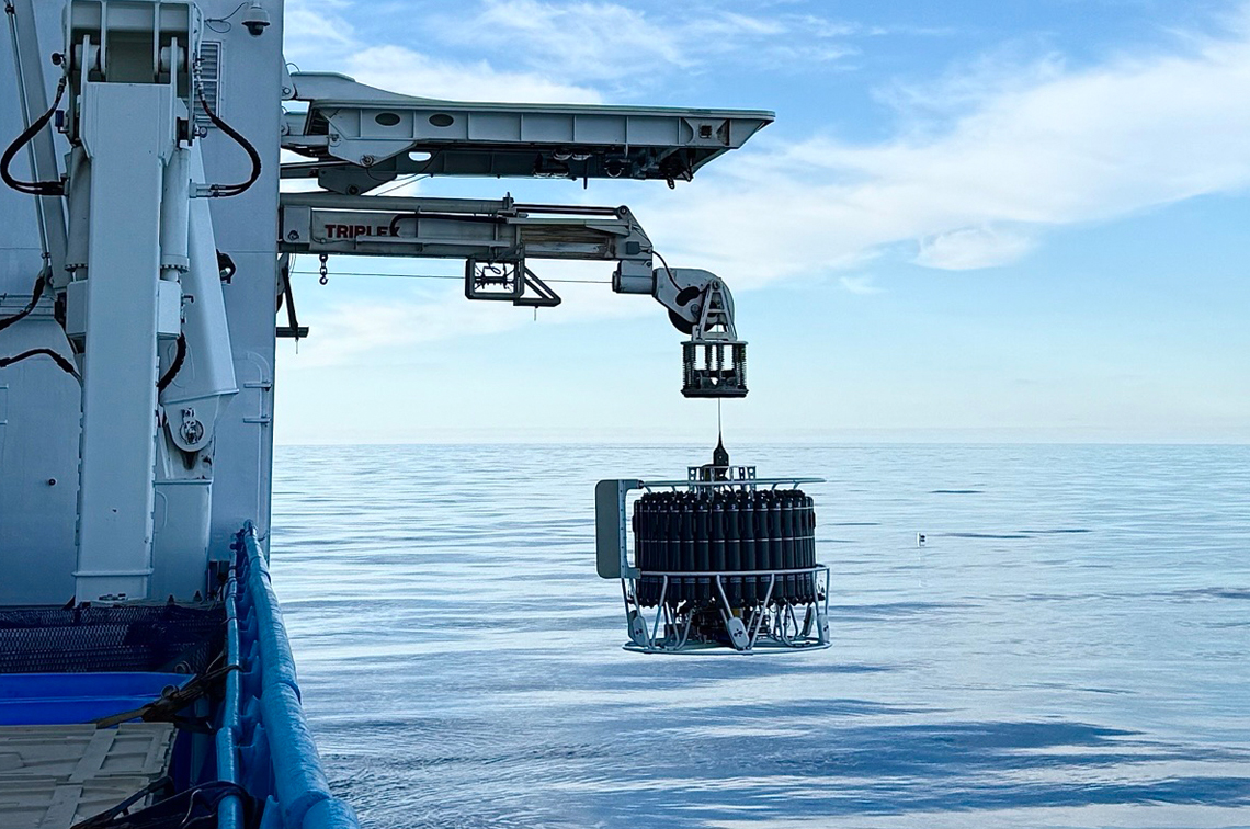
“We spend time on research vessels measuring ocean temperature and salinity, nutrient and oxygen concentration,” Dr Langlais says. “Models cannot exist without these observations. We need the best representation of the dynamical process and the response of the biogeochemical processes to plug into the equations that help us understand circulation.”
Having established an understanding of the historical ocean state conditions, Bass2 is now ‘running into the future’: simulating the 2030–2040 period under scenarios with and without wind farming in the Gippsland zone and 2°C global warming.
Then the baton passes to other researchers working as part of this project to model the flow-on effects for the regional ecosystem and priority species.
Related stories
Article
Workshop bridges knowledge and expertise to support offshore wind farm environmental assessment
Newsletter
Marine and Coastal Hub offshore wind farm environmental research update, September 2026

Newsletter
The Blue Drummer Marine and Coastal Hub newsletter, September 2026
More stories