Article
14 March 2026
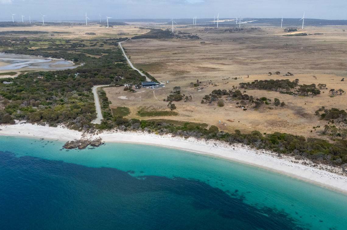
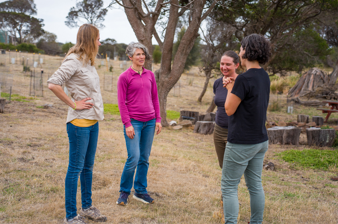
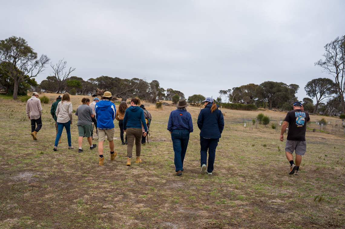
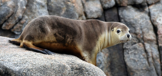
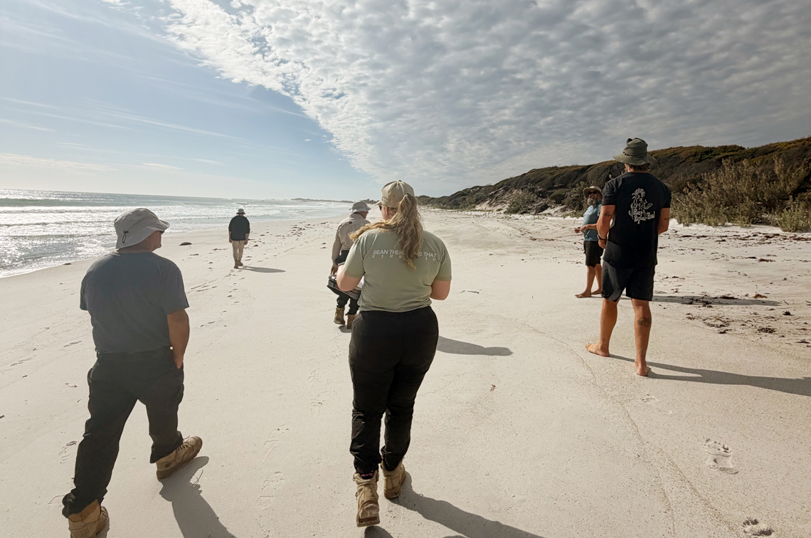
Little Musselroe Bay paints a smile on the windswept coast of Luemerremanner (Cape Portland) in far north-eastern Trouwerner/Loetrouwitter/Tasmania. When the Pairrebeenne/Trawlwoolway people of the Coastal Plains Nation come here to Tebrakunna Country the first thing they do is walk and watch.
Lately they’ve been joined by researchers from all four hubs of the National Environmental Science Program (NESP). They’re working together on a project led and co-designed by the Melaythenner Teeackana Warrana (Heart of Country) Aboriginal Corporation (MTWAC) and the University of Tasmania (UTAS).
MTWAC aims to restore Aboriginal land management practices in north-eastern Tasmania. The Tebrakunna Ranger Program was their first step towards realising this aspiration and the potential declaration of an Indigenous Protected Area.
Now they’re developing a Healthy Country Plan and a framework for identifying important things influencing the community’s social and emotional wellbeing. Skills development, employment pathways, and extending cultural leadership and stewardship are high on the agenda.
The NESP project has been helping to identify targets and threats, and develop strategies to improve the health of Country and people. Through this process, MTWAC has identified the following priorities that NESP researchers are partnering with them to address:
- understanding the myerlee (giant kelp) forest ecosystem (Marine and Coastal Hub);
- creating a cultural seasonal calendar (Climate Systems Hub);
- developing a cultural wellbeing framework and understanding the wellbeing impacts of the ranger training program (Sustainable Communities and Waste Hub); and
- building on cultural knowledge and practice to understand improvements in plant and animal diversity (Resilient Landscapes Hub).
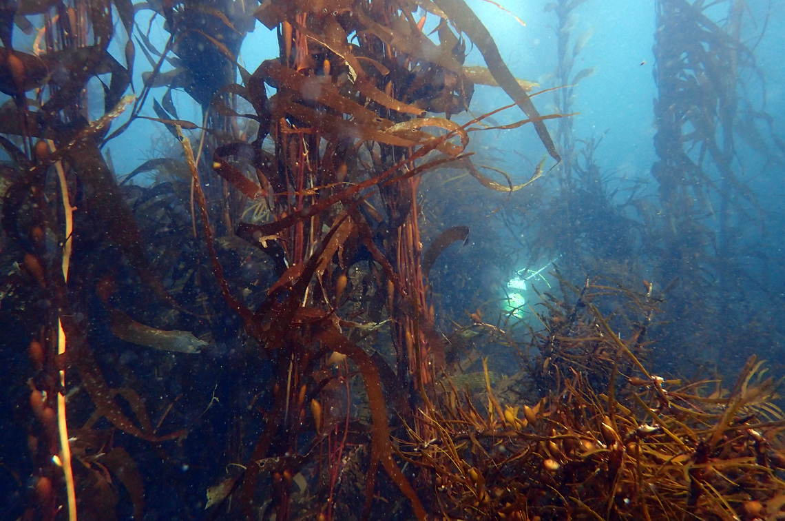
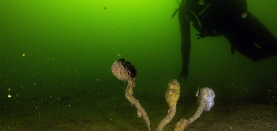
Understanding myerlee forests
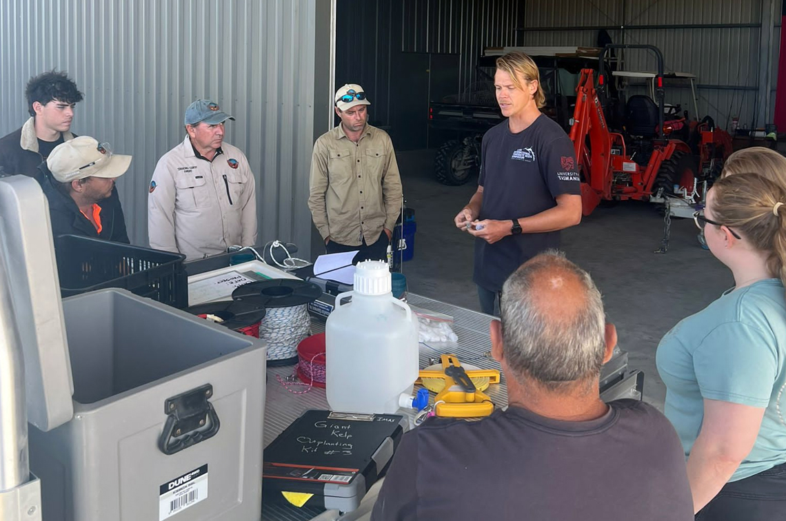
A focus for the Marine and Coastal Hub is on-Country knowledge-sharing. This includes collaboration with the MTWAC-UTAS Tebrakunna Sea Country Stewardship Project which is supported through the Australian Government’s Saving Native Species Program as part of a wider UTAS-led project to restore myerlee along eastern Tasmania.
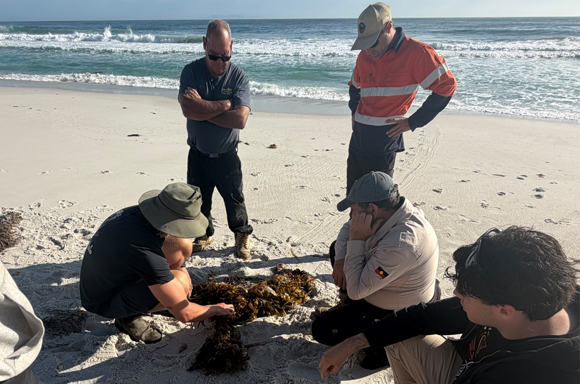
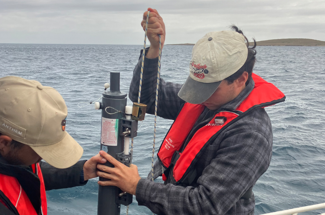
North-eastern Tasmania is one of the last strongholds for myerlee forests in Australia. Tebrakunna Rangers are learning to survey and monitor the presence of myerlee forest and the oceanographic conditions that enable its presence.
In January the rangers and UTAS researchers surveyed beach-cast seaweed wrack and conducted oceanographic sampling from a vessel to investigate where and why myerlee forests persist around Musselroe Bay.
They’re keen to understand the unique combination of circulation, nutrients and water temperature seemingly leading to high localised primary production and the local persistence of myerlee forests.
Their work is also building capacity for Indigenous perspectives and knowledge to be embedded in regional conservation efforts. Ultimately this will contribute to safeguarding the remnant forests on Tasmania’s north-eastern coast.
On-Country workshop
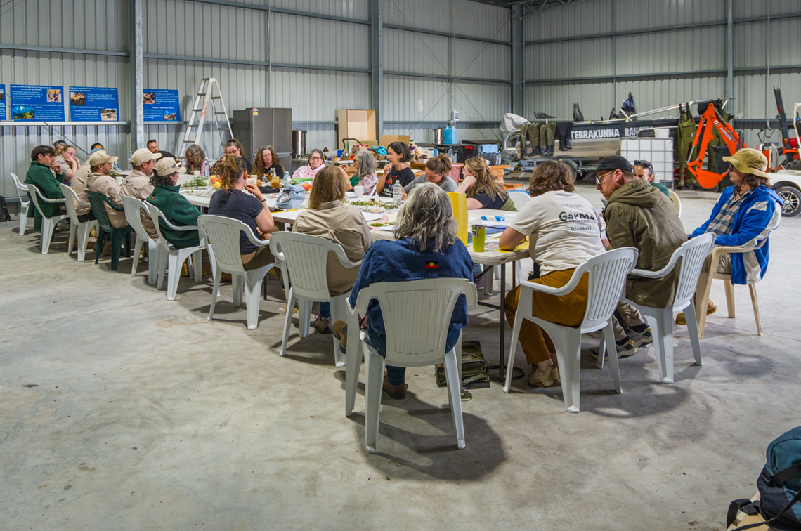
In February, researchers from the other three NESP hubs joined Tebrakunna Rangers, Elders and community members for a workshop held on the beach and in the spacious MTWAC Ranger Base at Tebrakunna.
After walking together, everyone sat in a big yarning circle and created a seasonal calendar using cultural seasonal indicators for land, sea and sky, guided heavily by Elders. The calendar will enable hub researchers to bring together a range of mapping products showing how plants and animals are improving on country.
The group also discussed the influence of factors such as climate change on their seasonal cultural calendar and how rangers can adjust the calendar over time as these changes happen.
The closing yarns advanced research funded by the Healthy Environments and Lives Network to understand how changes to Country impact community wellbeing and how the MTWAC community can adapt to these changes to improve wellbeing of people and Country.