Video
21 April 2026
On 18 March 2026, the Marine and Coastal Hub delivered a webinar showcasing new research to map and assess previously undocumented reef systems across northern Australia.
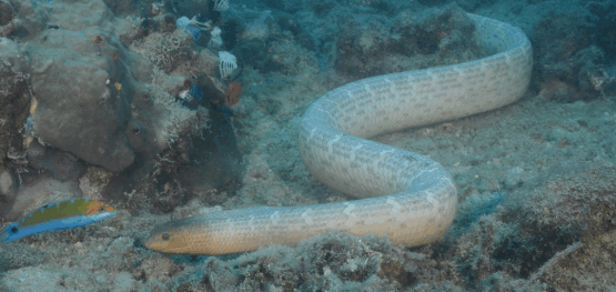
Reef areas are of high conservation value because they support a much higher density of marine species than typical marine environments. For this reason, environmental managers and regulators need a reliable national map of these habitats, along with confidence in those maps and an understanding of their limitations. This webinar discussed research undertaken within NESP on tropical hidden rocky (3.17) and shellfish reefs (4.13) in northern Australia, where satellite imagery and ground-truthing were used to fill key knowledge gaps in remote, highly turbid systems, and presented the findings along with their potential applications for improved mapping and management.
Presentation 1 – Identifying unmapped reefs of the northern Australian seascape
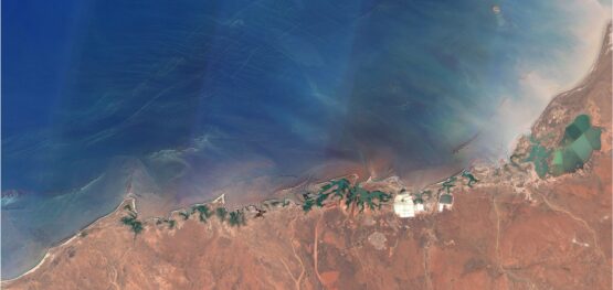
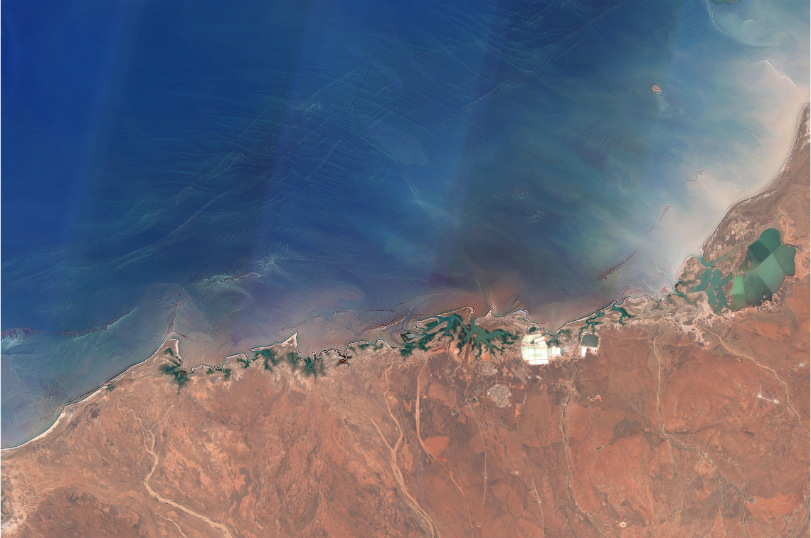
In this presentation, project lead Dr Eric Lawrey discusses the findings and uses of delivering datasets of reef boundaries, satellite imagery optimised for the marine environment, and geomorphic and benthic habitat maps for shallow clear reefs. This project used satellite imaging techniques to map northern Australian regions, using methods consistent with existing reef mapping of the Great Barrier Reef, Torres Strait, and the Coral Sea. These products are targeted at assisting with the planning and evaluation of coastal development in northern Australia, helping ensure that sensitive, high-value habitats are identified and considered in development proposals or Park conservation.
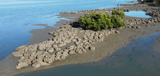
Presentation 2 – Assessing and mapping northern Australia’s endangered shellfish reefs
In this presentation, project researcher Dr Marina Richardson discusses the project’s findings and assess the current status of tropical oyster (also called shellfish) reefs across Northern Australia. This project undertook full assessments of reef condition at selected sites to develop rapid assessment methods suitable for estimating oyster populations, supported biodiversity, habitat preferences and settlement substrates to inform future management, monitoring, and conservation status of tropical oyster reefs.