Sediment and nutrient loads discharged from Queensland’s river catchments into the Great Barrier Reef lagoon can reduce water clarity, reducing light available to seagrass meadows and inshore coral reefs, and are also associated with macroalgae overgrowth on coral reefs. To address these threats, the Australian and Queensland governments introduced the Reef 2050 Water Quality Improvement Plan.
Since 2014, there has been considerable government investment in Great Barrier Reef catchment area (GBRCA) water quality programs, including on-ground works and regulation. Despite this investment, there has so far been no comprehensive analysis of long-term trends in empirical water quality monitoring data to test and quantify any detectable changes. This project will draw on newly compiled historical water quality records to examine long-term trends of dissolved inorganic nitrogen (DIN) and suspended sediment concentrations across key river basins of the GBRCA for the first time. To complement this analysis, the project will also compile and assess fertiliser application data across river basins over the same timeframe.
Approach
- Analyse if there are any statistically significant trends present in the long-term suspended sediment and DIN concentrations from nine monitoring sites across GBR river catchments.
- Assess for those sites where a significant improvement in suspended sediment and DIN concentrations is observed, whether land management and climatic data can help explain the trends.
- Compile a foundational long-term dataset on fertiliser application amounts in the GBRCA. This dataset will document changes in fertiliser use by land use type and provide important context for interpreting water quality trends.
Expected outcomes
- Determine if long-term water quality trends at the river basin scale can be identified, and if so, identify potential links to climatic and/or land management changes over time.
- Provide a foundational long-term dataset of intensive land use fertiliser application data across the GBRCA.
- Explore potential insights into the timeframes and effectiveness of landscape restoration and nutrient management initiatives.
- Inform the Reef 2050 Plan and on-ground investment program activities, as well as support catchment modelling efforts.
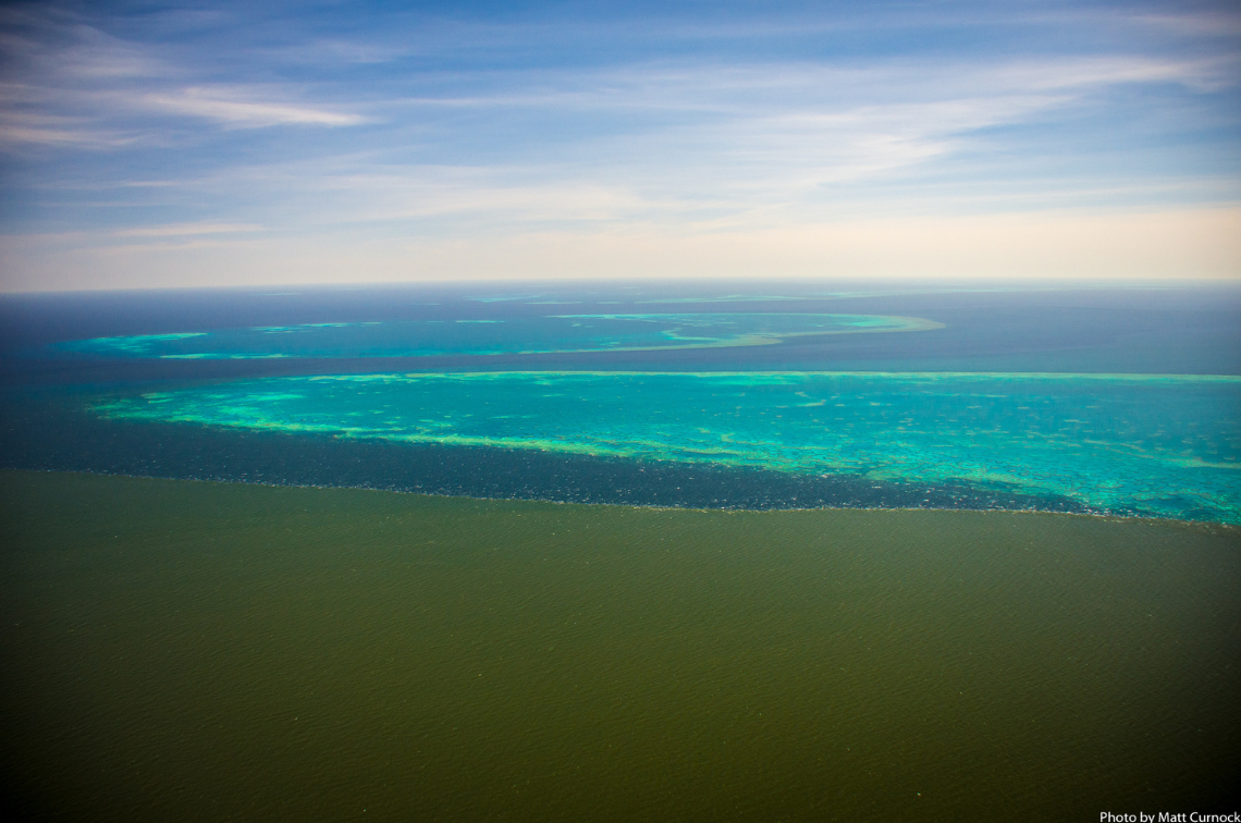 Plume front approaching Old Reef with Stanley and Darley beyond. Image: Matthew Curnock
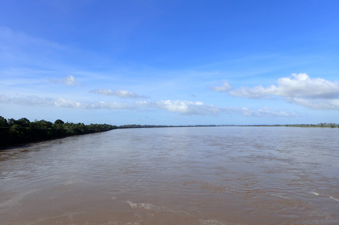 Burdekin and Inkerman. Image: JCU TropWATER
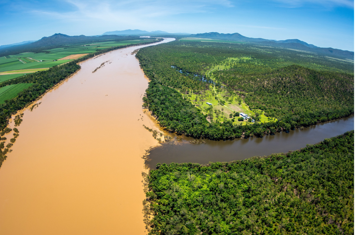 Burdekin River after heavy rainfall in 2019. Image: Matthew Curnock
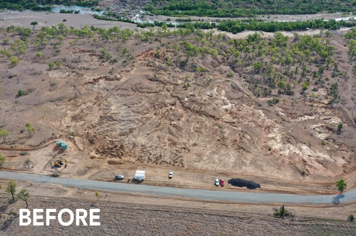 BEFORE: Example of landscape repair in the Bowen catchment. Image: Courtesy of NQ Dry Tropics
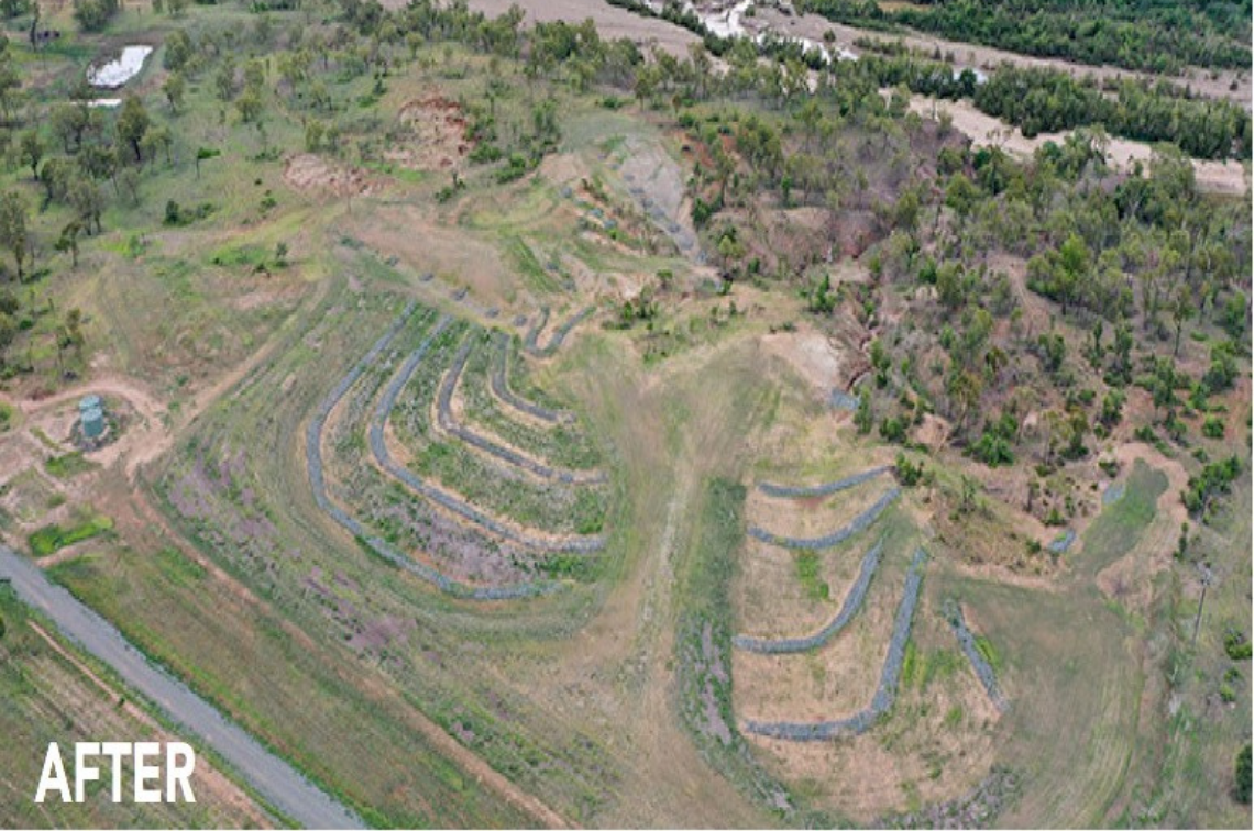 AFTER: Example of landscape repair in the Bowen catchment. Image: Courtesy of NQ Dry Tropics
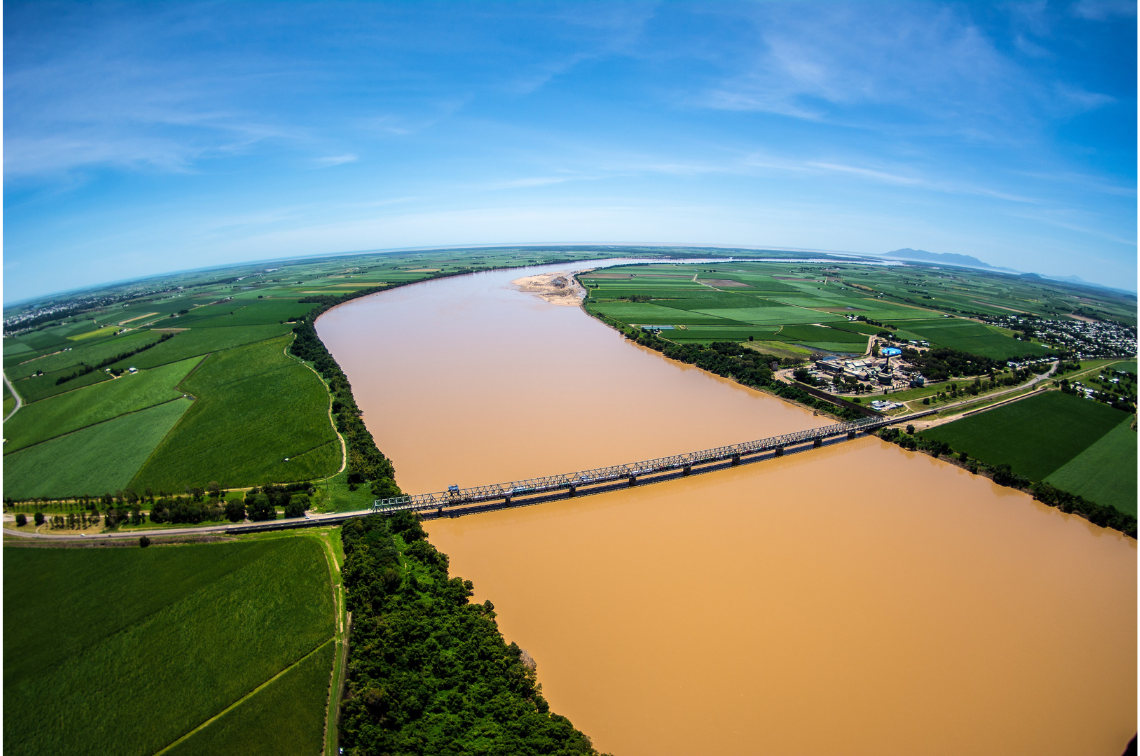 Burdekin River after heavy rainfall in 2019. Image: Matthew Curnock
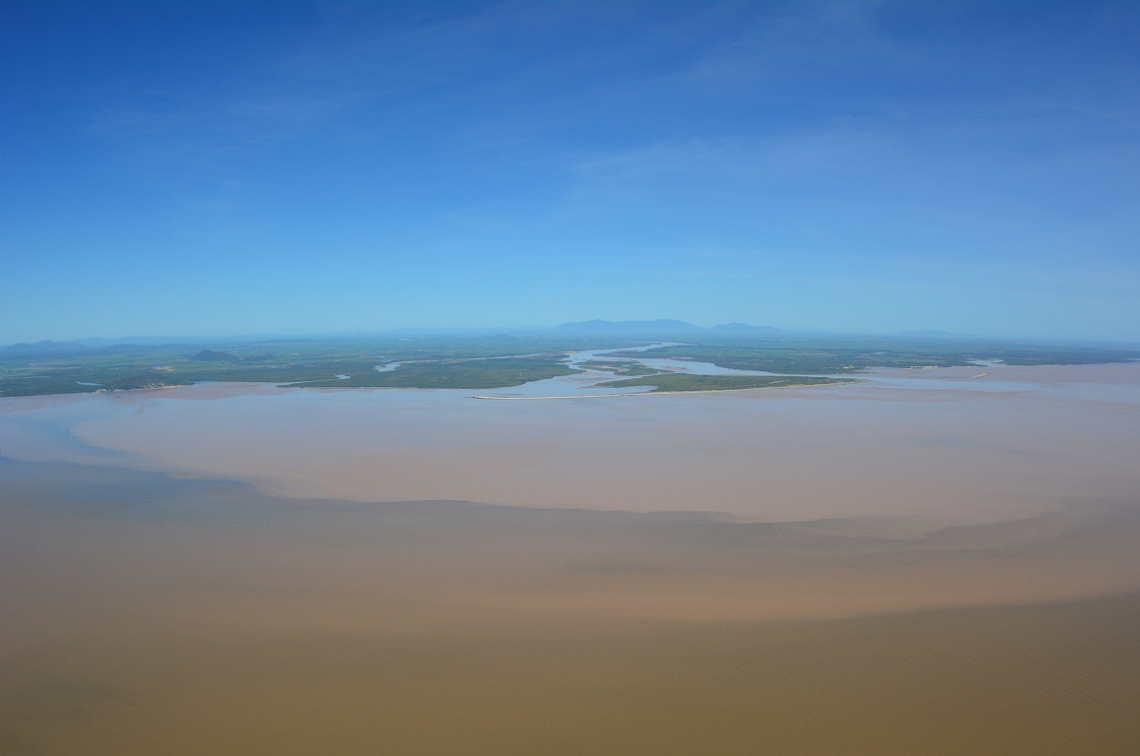 Burdekin River mouth. Image: Matthew Curnock
Project location
Project leaders
Research partners
CSIRO
TropWATER
James Cook University
Collaborators
Department of Environment, Tourism, Science and Innovation
Research users
Great Barrier Reef Marine Park Authority
CSIRO
Department of Climate Change, Energy, the Environment and Water
Parks Australia