Impact summary
24 May 2023
Regional planning is important to environmental and economic decision-making for sustainable development. In many areas of Australia’s marine domain, however, the environmental knowledge base to support regional planning is poor. This results in frustration for governments, affected communities and developers, and continuing declines in biodiversity.
The Marine and Coastal Hub is improving the knowledge base for regional planning and decision-making. This involves providing high-quality assessments and compilations of ecological data conducted across regional or national scales, in order to meet stakeholder, legislative and planning needs, and that respect the rights and aspirations of Traditional Owners.
Examples of hub projects that are supporting regional planning and assessments include: mapping seagrass and reef habitat across all of northern Australia; identifying monitoring priorities for Australian Marine Parks; and understanding aggregation areas for Southern Right Whales who may be affected by offshore energy developments.
Regional approaches to sustainable development
A hub project reviewed regional planning frameworks across Queensland, the Northern Territory and Western Australia through a literature review, interviews and case studies. This highlighted the value of regional approaches to sustainable development planning, assessment and approval. Existing relationships between counterpart Commonwealth and state/territory agencies and local governments could be used to expand and refine regional planning effort.

Building a world-leading approach to marine park management
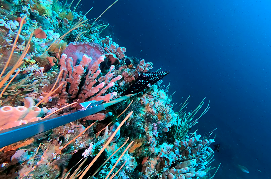
Understanding how well Australian Marine Parks (AMP) protect the environment is essential to their management. A hub project identified monitoring priorities for four AMP networks and the Coral Sea Marine Park. Researchers and managers considered natural values, pressures and management goals, and the feasibility of monitoring different ecosystems and key natural values. This work supports Parks Australia’s management effectiveness framework which is the first of its type globally.
- Project 1.3: Support for Parks Australia’s management effectiveness system for Australian Marine Parks
- Project 1.3 final report
Understanding seagrass distribution at large regional scales
Understanding seagrass ecosystems across northern Australia, and giving stakeholders equal access to this knowledge, is key to planning and managing new development. A hub project used four decades of existing data to map seagrass in Gulf of Carpentaria and Torres Strait. The public database shoes seagrass depth, density and species for 48,612 locations and 641 meadows. It will support decisions-making by resource managers, Traditional Owners, researchers, policy-makers and communities.
- Project 1.13: Synthesizing three decades of seagrass spatial data from Torres Strait and Gulf of Carpentaria
- Project 1.13 final report
Protecting growth corridors for the Southern Right Whale
In southern Australia, identifying areas important to migratory whales is crucial to effective regional planning. A hub project identified two Biologically Important Areas (BIAs) for the Endangered Southern Right Whale at Geographe Bay and Flinders Bay in Ngari Capes Marine Park. Both bays host ‘a small established aggregation area’, according to BIA definitions in the species’ conservation management plan. The confirmed reuse of historic breeding areas supports management in these waters of high natural, social, economic and cultural value.


