Article
18 December 2024
Thirty Indigenous rangers and scientists recently gathered in Western Australia’s Kimberley region for a workshop on using drones to monitor dugongs and seagrass. The week-long event was the first of this scale in Australia. It drew together seven Indigenous ranger groups, building skills and connections for Sea Country monitoring and management.
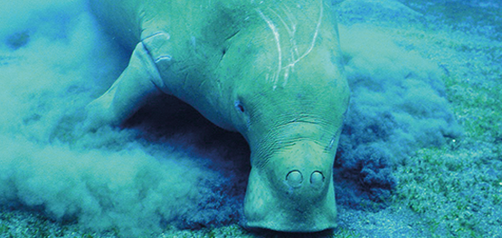
While dugongs are declining worldwide, Australia has a large proportion of the remaining population. About 12,000 dugongs live in the Kimberley’s pristine waters. They hold important cultural and social values for Indigenous communities who are working with government agencies and scientists to develop and implement community-based sustainable dugong management.
Monitoring dugong populations across the vast and remote Kimberley coastline, however, can be costly and dangerous. Drone technology offers a promising solution to this challenge. Small drones may not provide population estimates for the entire Kimberley region, but Indigenous groups can use them locally to monitor dugong numbers, activities and habitat use.
In this hub project, James Cook University (JCU) researchers partnered with the Kimberley Indigenous Saltwater Advisory Group (ISWAG) and the Department of Biodiversity, Conservation and Attractions to provide drone training. ISWAG is a regional network of Kimberley Indigenous ranger groups that promotes best practice Indigenous-led and collaborative marine science. Dugongs are one of six key targets in ISWAG’s regional strategic plan, the Turtle & Dugong Initiative.
“We have organised drone training in many places around northern Australia, but this one was by far the largest and logistically challenging event,” says hub project leader Dr Christopher Cleguer of JCU. “It was very special to spend time on this beautiful coastline with so many of the Indigenous ranger groups of the Kimberley region.”
“Getting all the different [Kimberley Indigenous ranger] groups working together is important because we all have the same goals,” says Neil Hamaguchi, coordinator of the Nyul Nyul rangers on the Dampier Peninsula. “It is not just about us looking after our patch of dugongs and seagrass because the whole ocean is connected, and everything moves with the tides.”
The rangers learned how to use drones for precise, real-time monitoring of dugongs and their seagrass habitats. JCU researchers learned from Indigenous rangers’ expert local knowledge of habitats, seasons and dugong movements.
By working together, the researchers and rangers are building capacity for Indigenous communities to manage sustainable dugong populations on Sea Country, ensuring these culturally significant animals thrive for future generations. The next phase of this project will involve all project partners in developing a plan to apply drone monitoring across the Kimberley.
Many great photos were taken during the training event. Below is a selection taken by Christophe Cleguer and Chloe Edwards from JCU TropWATER, Marlee Hutton from the Kimberley Land Council, Phoebe Martin from ISWAG, and Kevin Crook from WA Department of Biodiversity, Conservation and Attractions.
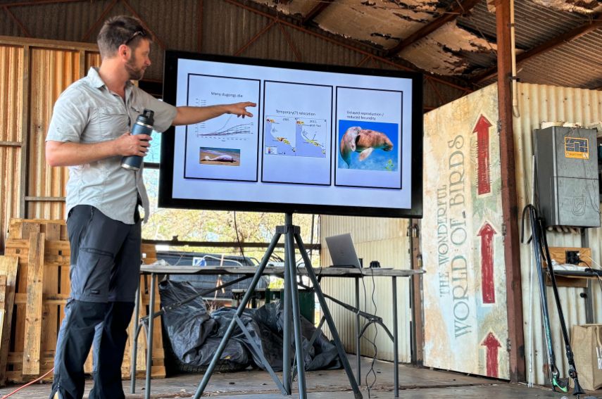 JCU TropWATER researcher Christophe Cleguer giving a presentation. Image: Phoebe Martin.
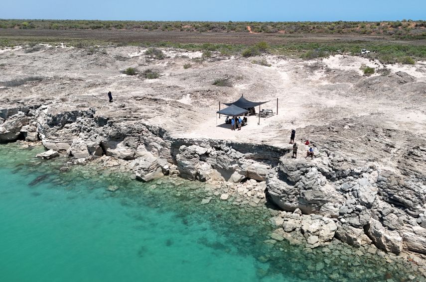 Drone training on Karajarri Country in Western Australia’s Kimberley region. Image: Kevin Crook.
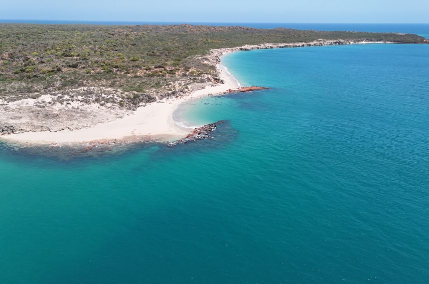 Drone training on Karajarri Country in Western Australia’s Kimberley region. Image: Kevin Crook.
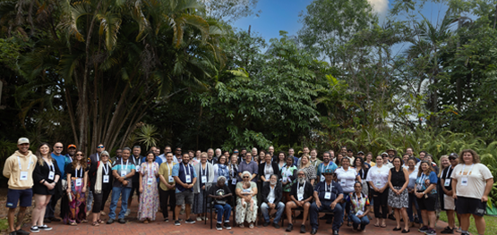
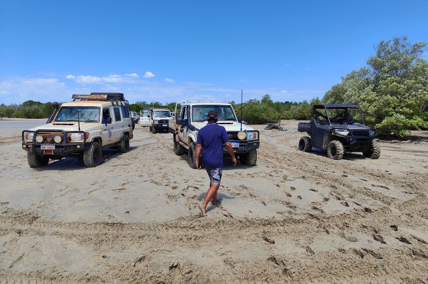 Indigenous ranger groups from across the Kimberley on the beach. Image: Christophe Cleguer.
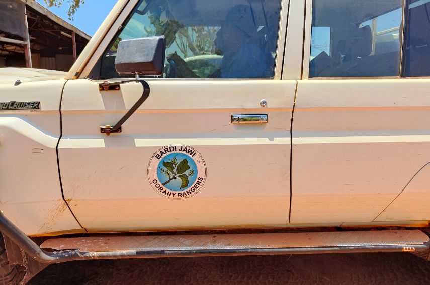 Kimberley Indigenous Saltwater Advisory Group (ISWAG) Bardi Jawi Oornay ranger group. Image: Christophe Cleguer.
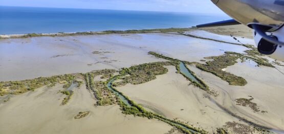
 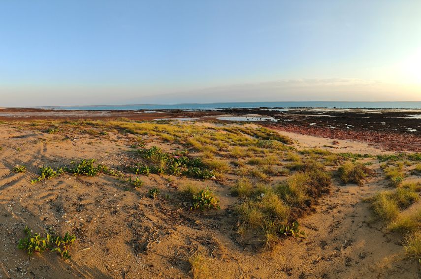 Karajarri Country in Western Australia’s Kimberley region. Image: Christophe Cleguer.
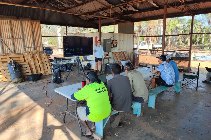 Drone training workshop presentation. Image: Christophe Cleguer.
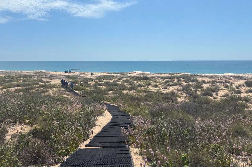 Drone training on Karajarri Country in Western Australia’s Kimberley region. Image: Chloe Edwards.
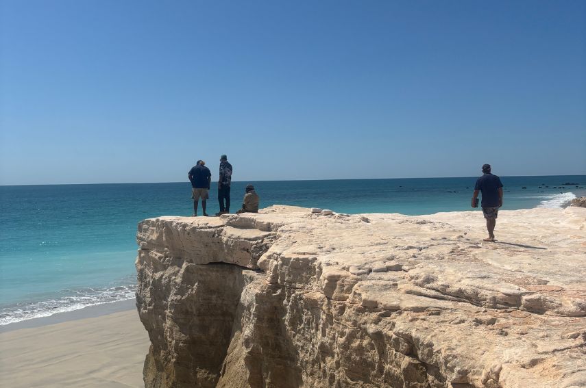 Kimberley Indigenous rangers on Karajarri Country. Image: Chloe Edwards.
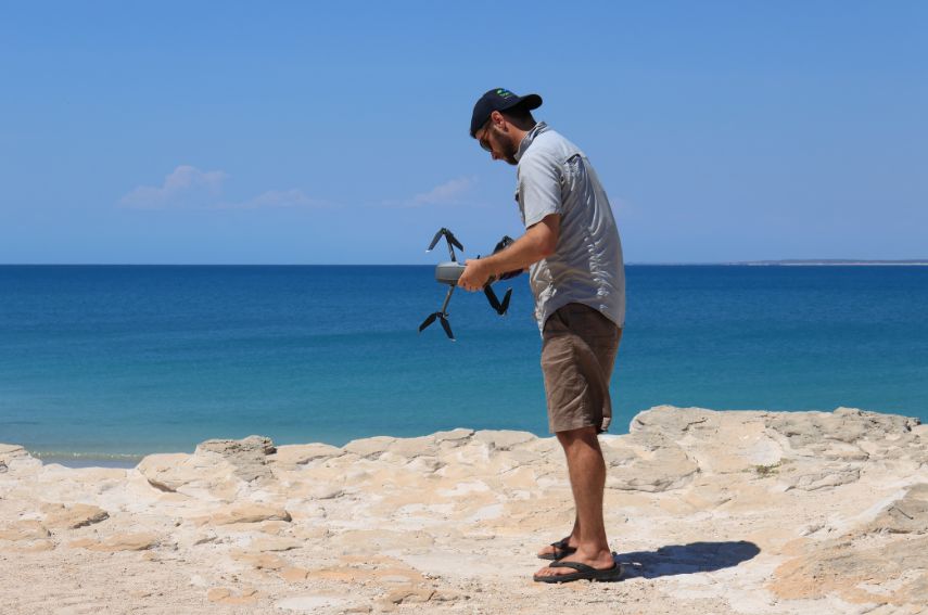 JCU TropWATER researcher Christophe Cleguer handling a drone. Image: Marlee Hutton.
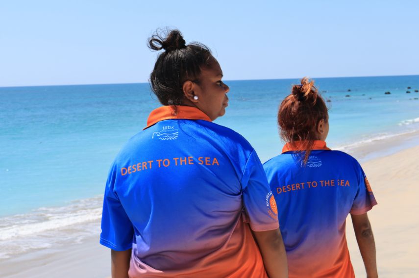 Nyangumarta Indigenous rangers. Image: Marlee Hutton.
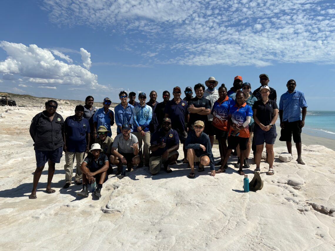
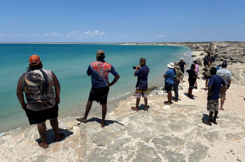 Kimberley Indigenous rangers on Karajarri Country. Image: Phoebe Martin.
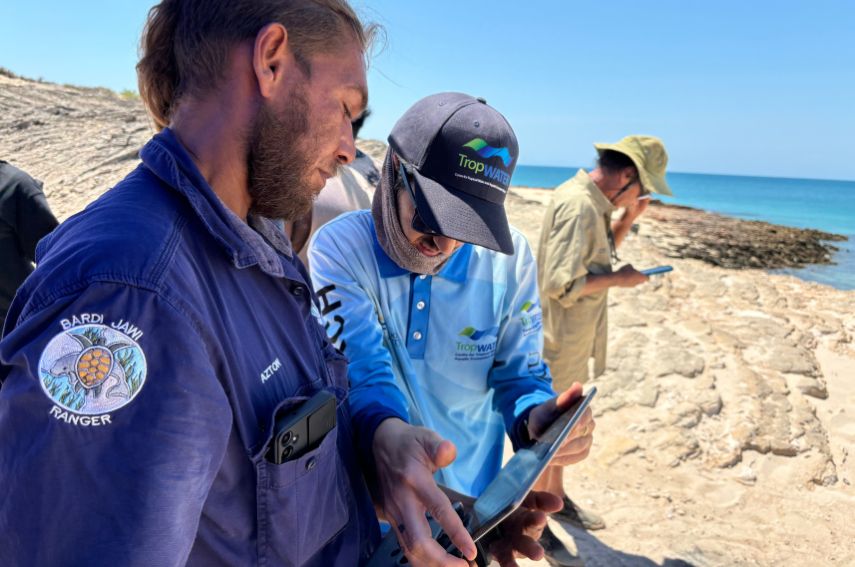 JCU TropWATER researchers and Bardi Jawi Indigenous ranger. Image: Phoebe Martin.
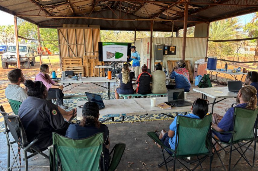 Drone training workshop. Image: Phoebe Martin.
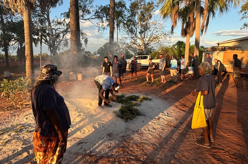 Welcome to Country by Traditional Owners of Karajarri Country. Image: Phoebe Martin.