Article
17 June 2025
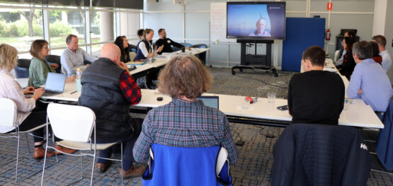
A Marine and Coastal Hub workshop held in April brought together more than 100 people representing diverse interests and involvement in offshore wind farm environmental assessment.

The two-day workshop was part of a hub project that is developing regional modelling and risk assessment to support decision-making in the Gippsland Declared Area off the coast of Victoria.
Presenters outlined ecosystem modelling approaches, the status of environmental knowledge and existing activities such as fishing and offshore petroleum for the Bass Strait region. The presentations prompted fruitful conversations with participants representing research and government agencies, government and industry.
“The workshop demonstrated the diverse, multi-disciplinary capability that sits within the hub research community,” project leader Dr Keith Hayes of CSIRO said. “This capability is being applied to quantify the potential cumulative impacts of offshore wind development on priority species.
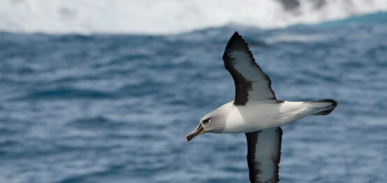
“The priority species in the Gippsland Declared Area include seabirds, shorebirds, parrots and whales. The presentations highlighted the challenge of aggregating datasets on the distribution and abundance of these species, and the statistical and mathematical modelling techniques being developed or evaluated in this project.
“They helped to build shared understanding to support further discussion between the Department of Climate Change, Energy, the Environment and Water (DCCEEW), the National Offshore Petroleum Safety and Environmental Management Authority (NOPSEMA), wind farm proponents, practitioners and researchers.”
The workshop feedback was positive, with participants thanking the organisers and presenters for an informative event. The following brief summaries of selected presentations highlight the breadth of expertise being harnessed in this project.
Expanding and sharing environmental knowledge
Mark Say of the DCCEEW spoke about the department’s Renewables Environmental Research Initiative (RERI). He said the initiative would conduct targeted research to address key knowledge gaps and develop regulatory guidance to facilitate faster, better approvals under the Environment Protection and Biodiversity Conservation Act 1999. The RERI has 17 projects contracted and several more under procurement. The work of the RERI and the hub will be complementary, and collaborative where appropriate.
Dr Garnet Hooper of the National Offshore Petroleum Safety and Environmental Management Authority (NOPSEMA) outlined the scale and status of infrastructure, decommissioning, and environmental management for offshore petroleum activities in Commonwealth waters off Gippsland. He also discussed addressing uncertainty in environmental impact assessment and management for offshore petroleum activities, and potential future challenges for offshore energy production in Gippsland that may be relevant to research planning. He said that collaborative, co-designed research can enhance confidence in environmental assessment and management. This engagement is supported by the NOPSEMA-OIR research strategy 2024–2027.
The National Electronic Approvals Tracking System website managed by the National Offshore Petroleum Titles Administrator has information on offshore petroleum and greenhouse gas storage permits and titles. An interactive map also includes wells and pipelines, offshore electricity infrastructure licenses and declared areas, Native Title determinations/claims, Biologically Important Areas and Australia Marine Parks.
Dr Rachel Nanson of Geoscience Australia spoke about the importance of mapping marine geomorphology (seabed features) in Bass Strait. She emphasised the need to understand how areas of seabed have evolved, and whether seabed features are static or mobile. For example, high resolution mapping within the Beagle Marine Park has revealed areas of mobile marine bedforms (ripples), and static, lithified coastal dunes that formed thousands of years ago, when the seabed formed a land bridge between mainland Australia and Tasmania. They are now mapping the geomorphology of the seabed for the surrounding Bass Strait region, utilising detailed data from the Beagle and Zeehan marine parks and other regional datasets, in a project funded by DCCEEW (RERI Project 14). The challenge to the Australian seabed community is to help to “fill the gaps” by collecting new bathymetric, sediment and sub-bottom data that can help to inform future mapping efforts.
Dr Jacquomo Monk of the Institute for Marine and Antarctic Studies at the University of Tasmania demonstrated the Seamap Australia portal, showcasing how it enables dynamic exploration of marine habitat mapping, geomorphology and other spatial data across Australia's marine estate. He highlighted the integration of underwater imagery through Squidle+, and baited remote underwater stereo-video data from GlobalArchive to visualise benthic habitats and species distributions. This live demonstration illustrated the power of interoperable platforms for enhancing environmental assessments, data transparency, and decision-making, particularly in data-limited regions such as the Gippsland Declared Area.
Ben Sellers from Parks Australia described natural values of management importance in Bass Strait’s five Australian Marine Parks. He said the Zeehan and Beagle marine parks were the most extensively mapped to support biodiversity surveys. Boags, Zeehan and Franklin marine parks contain core foraging areas for shy albatross. Beagle and Apollo marine parks contain diverse mesophotic reef ecosystems.
Dr Piers Dunstan of CSIRO presented work on developing an approach to inform a robust monitoring program for Australian Marine Parks (hub Project 4.20). He also discussed ongoing work through the Blue Economy Cooperative Research Centre to provide an atlas of marine uses for the Australian Exclusive Economic Zone, with data extending over 20 years. These data products will be available on the Future of Seafood website and other data portals such as Seamap Australia.
Dr Myriam Lacharité of the University of Tasmania outlined progress on obtaining and categorising priority species data for use in modelling. Data sources include research and government agencies, national and global databases such as such the Atlas of Living Australia and the Ocean Biodiversity Information System, and non-profit organisations such as Birdlife Australia. The types of data are presence-only, presence-absence, abundance (counts), mark -recapture data (re-sightings) and movement (tracking) data. Data processing involves consideration of survey/sighting type, location accuracy, temporal range and duplication. Data sharing agreements are being arranged where required.
Modelling populations, ecosystems and cumulative impact
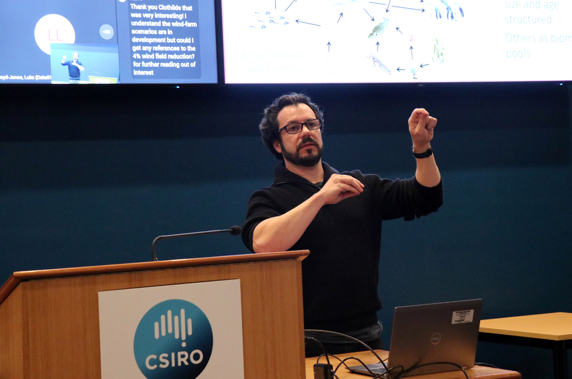
Dr Javier Porobic Garate of CSIRO outlined the use of ecosystem modelling to explore cumulative impact. Atlantis, and Ecopath with Ecosim, are the two models being used. These will incorporate the physical environment, ecological components, ecological processes, wind energy, development scenarios, fisheries and zoning scenarios, and other industries. The content of the models is being refined in preparation for validation against available data.
Dr Skip Woolley of CSIRO explained the use of integrated species distribution modelling to understand the distribution of at-risk species, and approaches to combining different data sources collected in different ways. For example, seabird data may stem from population-level surveys, or individual-level GPS telemetry. Combining such data may allow broader-scale predictions of how individuals are distributed at different times of the year in relation to factors such as wind or food availability. This approach could be used to understand and assess the potential risk to individuals or sub-populations of wind farm infrastructure placement options.
Dr Maud El-Hachem of CSIRO used the example southern right whales to show how to conduct a sensitivity analysis for Leslie matrix models. These models are often used to predict population dynamics and assess the impacts of various factors on the survival and reproduction of threatened and endangered species. The approach has been used in previous NESP-funded research. It is one of several population dynamics modelling approaches being considered by the hub research community.
Dr Robin Thomson of CSIRO talked about modelling the impact of fishery bycatch on shy albatross populations. The modelling included albatross population dynamics, the spatial overlap between birds and fisheries, environmental variables and the possible effect of climate change on the population dynamics of shy albatross. She explained how the potential effect of wind farms could be assessed within this modelling framework.
Dr Tobias Ross and Professor Marcel Klaassen of Deakin University talked about modelling the population dynamics of migratory shorebird species and the potential impact of offshore wind farms on their migratory and day to day movements. This includes developing an understanding of where and when birds fly. For example, they tend to fly much lower over water than land, may fly higher to gain wind support, and are influenced by cloud and humidity. Movement behaviour observations and analyses could importantly contribute to the development of habitat suitability models to help assess the potential exposure of migratory shore birds to wind farm interactions. (Hub projects 4.17 and 4.26 conduct research on migratory shorebirds.)
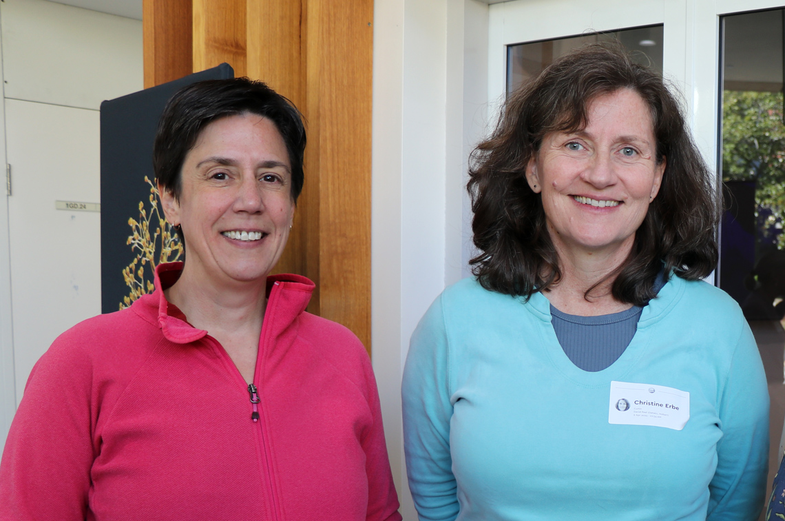
Professor Christine Erbe of Curtin University talked about sources of underwater noise and their effects on marine megafauna. Noise sources from offshore wind farms include driving poles or moorings, construction, and vessel traffic. A model of Bass Strait’s marine soundscape will include noise footprints from wind farm construction and operation, and changes in ship traffic, ocean weather/climate and megafauna abundance and distribution. The model will use outputs from a dedicated Bass Strait oceanographic model developed by CSIRO, together with a suite of possible development scenarios, to predict soundscapes in Bass Strait out to the year 2040.
Dr Andrew B. Gill of the Australian Institute of Marine Science presented a framework for assessing the effects of anthropogenic electromagnetic fields (EMFs) on marine species. The framework uses a likelihood-of-encounter approach that:
- sets out the essential components of defining the EMFs generated by subsea electricity transmission;
- identifies the biological attributes of potential receptors (such as fish, invertebrates, turtles and/or marine mammals) that affect the likelihood of encounter between them and the altered EMF environment; and
- assesses the effects that may translate to population-level impact manifest through behavioural, physiological and/or reproductive success of the target species.
Further information
- Bass Strait ecosystem and offshore renewable energy workshop collated presentations
- Marine and Coastal Hub offshore wind farm environmental research update, June 2025
- Renewables Environmental Research Initiative on the DCCEEW website
- NOPSEMA resources: NOPSEMA-OIR research strategy 2024–2027; National Electronic Approvals Tracking System website
- GA seabed mapping resources: Guiding Coordination Survey Coordination Tool; AusSeabed