Impact summary
11 May 2023
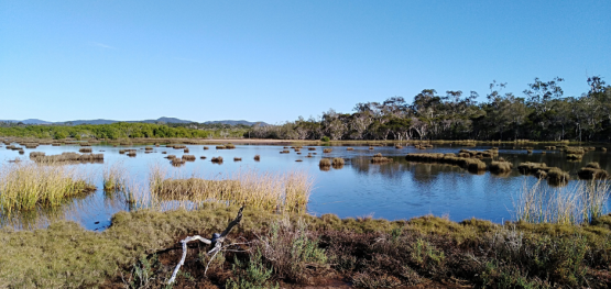
Australia has the third largest marine estate of any country in the world. Most marine and coastal resources are in offshore or isolated areas, making monitoring and assessing the health of these habitats highly challenging. Emerging technologies coupled with citizen science or Indigenous Ranger monitoring can greatly increase our capability to understand marine and coastal resources.
While there are limitations to citizen-science monitoring, these programs are vital for providing minimum estimates of important population parameters in an environment. The hub is working with citizen scientist and Indigenous ranger programs to improve their data collection and usability. This includes statistical analyses and the incorporation of artificial Intelligence and automated image analysis.
Citizen science programs provided data for estimates of population trends spanning decades for migratory shorebird species to support conservation assessments by the Australian Government and the Threatened Species Scientific Committee. Photographs provided by researcher-led citizen scientists contribute important information to Southern Right Whale and tropical coral reef research and are being used to record range shifts in hundreds of marine fish species. Integrated, community-based approaches offer a cost-effective means of scaling-up seagrass restoration.
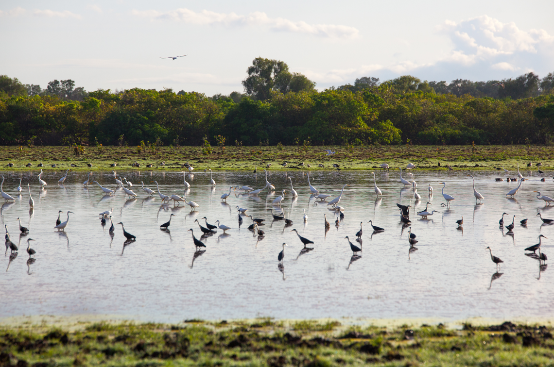
Birdwatchers record evidence of population declines
Hub researchers analysed 29 years of shorebird monitoring data collected at 448 sites by Indigenous groups and citizen scientists. This BirdLife Australia National Shorebird Monitoring Program data enabled population and conservation status assessments for key species. Black-tailed Godwit, Curlew Sandpiper and Eastern Curlew population declines were consistent with their Critically Endangered listing under the Environment Protection and Biological Conservation Act 1999. Nunivak Bar-tailed Godwit, Common Greenshank and Great Knot declines were consistent with their Endangered listing and the Grey Plover was assessed as Vulnerable.
Project 1.21: Australia’s coastal shorebirds: trends and prospects
Project 1.21 final report
Pictures tell the story as Southern Right Whales return home
More than 2600 photographs taken across three decades by whale watching operators, researchers and citizen scientists have located important Southern Right Whale habitat off south-western Australia. Marine and Coastal Hub researchers processed, matched and uploaded the photos to the Australasian Right Whale Photo Identification Catalogue. The historical record was developed by Western Whale Research under the Southwest Whale Ecology Study. It identified up to 10 calving females at peak season in Geographe Bay and Flinders Bay, indicating both bays qualify as Biologically Important Areas for Southern Right Whales.
Project 1.22: A photo-identification study of southern right whales to update aggregation area classification in the southwest of Australia
Project 1.22 final report
National assessment of climate-driven species redistribution using citizen science
Ocean warming and stronger southward flowing currents are causing marine species to extend their ranges southward. In the past decade, fishers, divers and other ocean users provided the citizen scientist programs Redmap, iNaturalist and Reef Life Survey with thousands of species sightings considered ‘unusual’ for a given location. Analysis of these records by hub researchers found 77 marine species likely to have moved south along Australia’s coast. The Redmap Australia Decadal Report Card supports community understanding about climate change effects in Australia’s oceans.
Project 1.30: National assessment of climate-driven species redistribution using citizen science
Scaling up seagrass restoration through ‘Seeds for snapper’
Marine and Coastal Hub researchers provided guidelines for expanding the community-based ‘Seeds for Snapper’ seagrass restoration program coordinated by OzFish. In October–December each year, volunteer divers, boaters and ‘beachcombers’ collect, process, nurture and deploy hundreds of thousands of seeds at Western Australia’s Cockburn Sound where more than 85% of seagrass meadows have been lost. Surveys by The University of Western Australia found promising yet variable results, with seedling recruitment influenced by exposure to shallow reef pavement, swells, and high sand dollar density.
Project 1.8: Including sediment processes in restoration strategies for Australian seagrass ecosystems
Project 1.8 final report
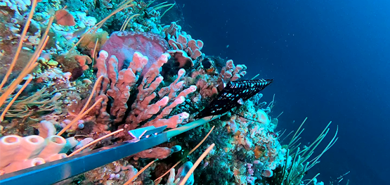
Scaling up citizen science for environmental decision-making
In 2021, the Great Reef Census (GRC) collected 13,000 photos from 140 remote coral reefs. Artificial intelligence, if used effectively, can turn such extensive data sources into valuable management information. Research supported by the hub assessed a machine learning platform, and a schools-based program, for their ability to identify coral cover and type from GRC images. The findings provide guidance for enhancing these potentially complementary approaches. The analysis tool and validated data will support environmental decision-making and on-ground action.
Project 1.29 A: Great Reef Census – a case study to integrate citizen science data into research output for marine habitat management